
1
/
of
1
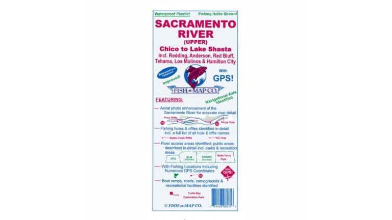
FISH N' MAP WATERPROOF MAP. Sacramento River
FISH N' MAP WATERPROOF MAP. Sacramento River
Regular price
$11.99 USD
Regular price
$15.99 USD
Sale price
$11.99 USD
Unit price
/
per
Fish-n-Map Company's Underwater Topography Maps are printed on a water-proof, tear-resistant plastic material for durability in the field and are folded to 9''x4''. When opened, each map is approximately 3'x2' in size. Most maps are printed on both sides. The maps include extensive and detailed legends that guide you through valuable information such as;
- Lake Size & Elevation
- Known Fish Species
- Underwater Bottom Conditions
- Depth Contours
- Boat Ramp Locations
- River Inlets, Feeder Creeks & Canals
- Submerged Brush & Rock Reefs
- Longitude & Latitude
- Campgrounds & Restrooms
- Lodging, Groceries & Fuel
- RV Hook-ups, Showers & Lodging
- Suggested Fishing Locations
- and more...
These maps will not only improve your fishing trip, but your entire outdoor experience.
Product features
Product features
Materials and care
Materials and care
Merchandising tips
Merchandising tips
Share